The first item was forced by the remote winch cable receiver socket that was supposed to have five (5) pins. It had one broken off so the remote cable was useless without replacing the receiver socket. Since I was going to do that why not go wireless. I bought a new receiver socket and proceeded to install it. With that finished I ordered a wireless receiver and transmitter that works great, it came with two transmitters and about one hundred foot range, so after some serious getting things in place it works and I have not used the hardwire remote again. Below is a picture of the damaged hardwire socket with only four (4) of the five pins. And the second image is the wireless transmitter.
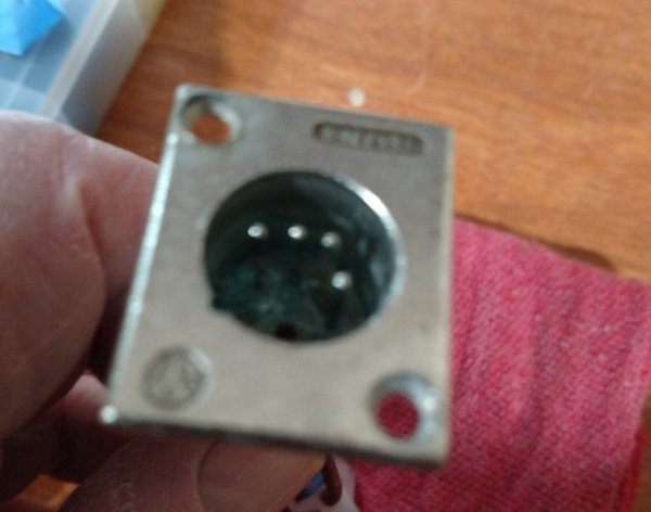
Should be 5 pins
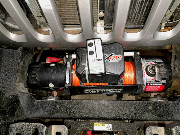
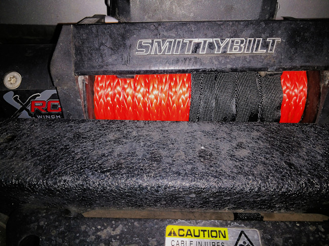
Next I wanted to replace the wire cable on the winch with a synthetic line, which is stronger safer and lighter. Went out to a friends farm in Tenino and used his truck as an anchor to stretch the new line as we loaded in on the drum. What a difference in handling the new line versus the steel cable especially no little pieces of wire to poke your hands, I had a small tree I wanted to remove from the yard and the new line did its job!