A friend of mine and a co worker for many years is a motor cycle enthusiast both off road and on road and he was wanting to create a GPS record around the perimeter of Capital Forest. Since I had the jeep we decided to travel the route together in the jeep and record our route which came close to 90 miles of forest roads and took most of a day, but we now both have our own route usable with our GPS devices. We traveled from roughly 200 feet elevation on up to 2600 hundred feet. I learned a lot about a new software and had a great time.
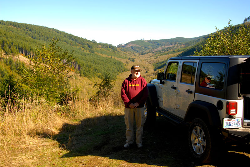
Steve on our first stop and where we had lunch
Log landing with Steve
First break and lunch time at a Landing turned into a primitive camp site with a view
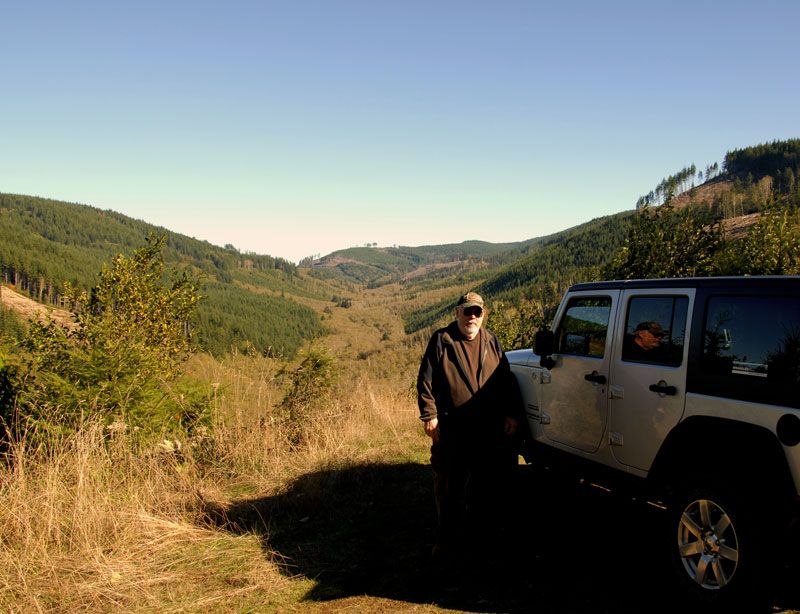
Lunch break in Capital Forest
From the landing across a valley you can see a logging tower where they drag the trees to load on trucks for the trip out!
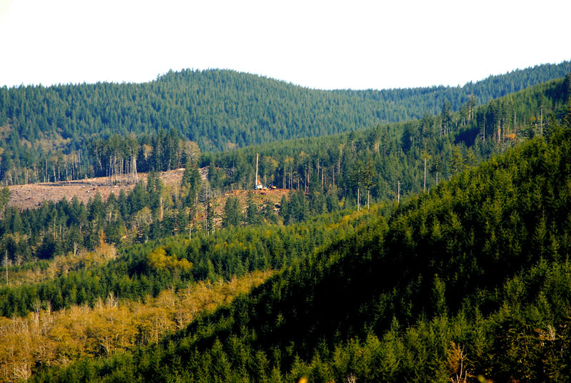
Logging/ Tree Farming
A bonus view while working our way across a ridge. A view of Summit Lake through the trees.
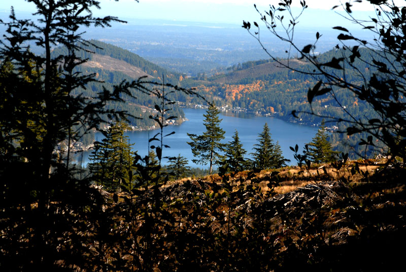
Summit Lake
Another view of Summit lake, clear cuts and homes.
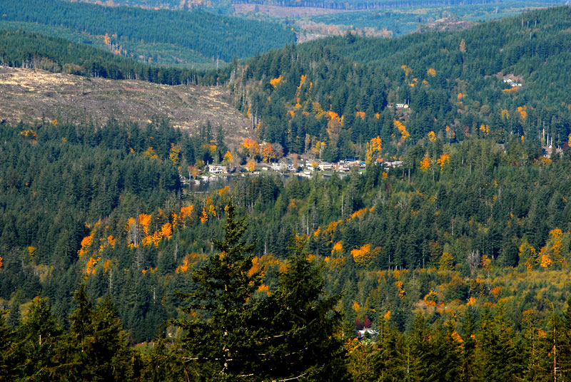
Another View of Summit Lake
And the result is a GPX route for our future use.
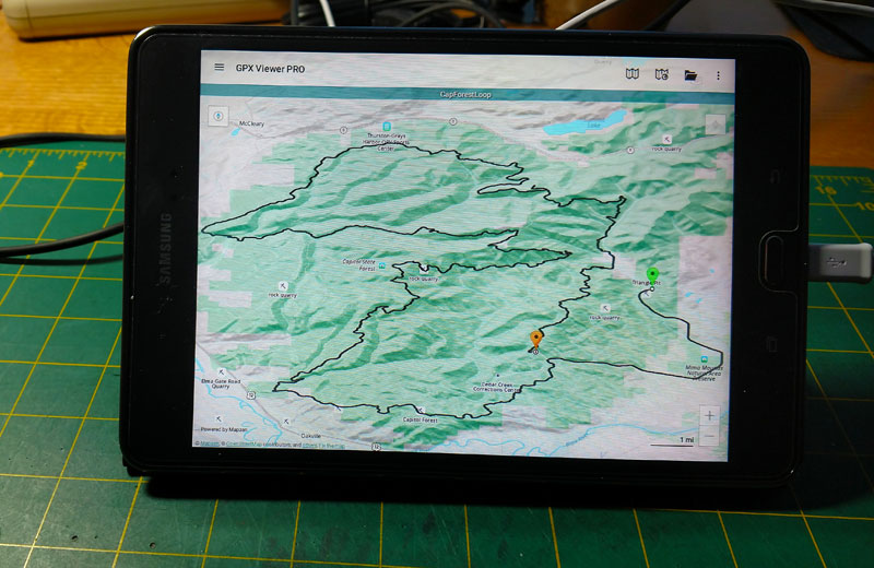
End of the day results